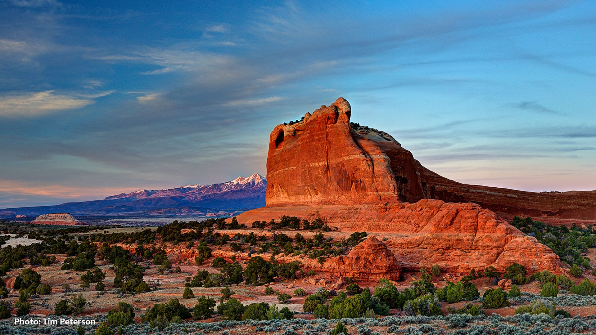
ust north of Indian Creek, the off-the-beaten-path Lockhart Basin near the Colorado River borders Canyonlands National Park on the west and the towering mesas of Harts and Hatch Point on the east. Accessed by a primitive high clearance four wheel drive road running from Indian Creek to Moab, Lockhart Basin is a “lithic landscape” consisting of unusually well-exposed outcrops made of materials used by prehistoric peoples for making stone tools and nearby cultural sites that provide evidence for the working and use of those materials.
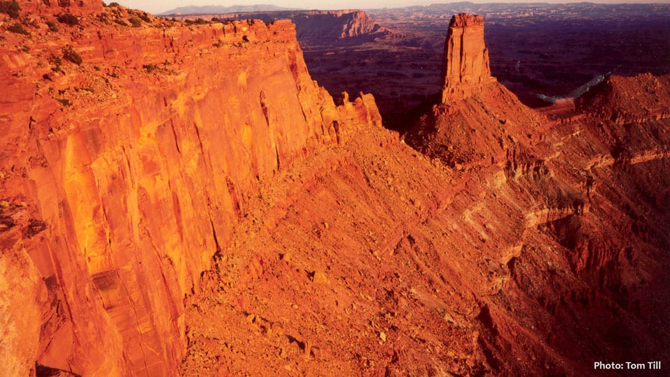
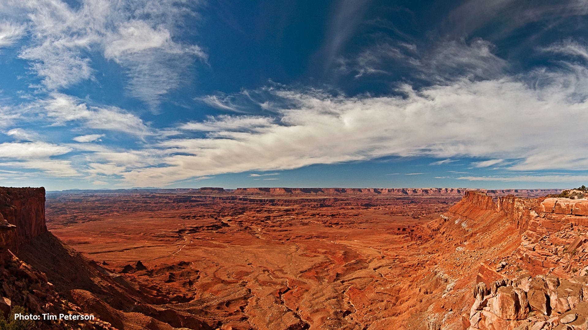
Hatch and Harts Points and their deeply incised canyons rise thousands of feet above Lockhart Basin to the east. Atop these broad mesas, a place exists that could easily be known as “Utah’s Serengeti,” where uncollared mountains lions still stalk Pronghorn Antelope, North America’s fastest land mammal. Easy, all-weather roads serve overlooks on Hatch Point, where visitors can cast their gaze all the way to the peaks of the Abajos, Indian Creek, the Seven Sisters Buttes, as well as the Colorado River, Junction Butte, and The Island in the Sky of Canyonlands.
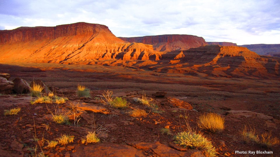
Once slated for inclusion in Canyonlands National Park, these areas face contemporary threats from oil and gas drilling and potash mining. Rather than being sacrificed for the extraction of energy and mineral resources found here that exist in abundance elsewhere, the landscape, wildlife and recreational, cultural, and historical resources found in Lockhart Basin deserve permanent protection.